How to Read Tides for Inshore Fishing: A Complete Guide
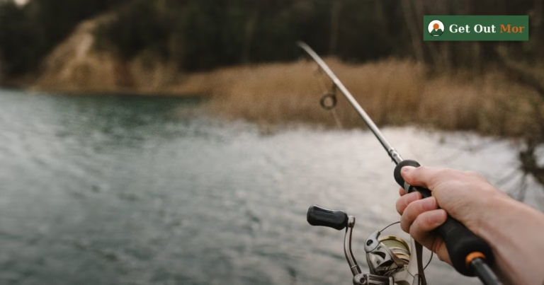
Understanding tides is the single most impactful skill an inshore saltwater angler can develop. More than lure choice, more than reel drag settings, more than boat positioning — knowing how the tide moves fish and how to be in the right place at the right transition makes the difference between blanking and a productive morning. I’ve been fishing Florida’s inshore waters for years, and I still check the tide chart before I check the weather when planning a trip.
Note: For a deeper look at reading tidal flats specifically for redfish, see our dedicated guide on how to read tidal flats for redfish, structure, and sight fishing. This article covers tidal principles broadly across multiple inshore species and habitat types.
How Tides Work: The Basics
Tides are caused by the gravitational pull of the moon (primarily) and the sun (secondarily) on Earth’s oceans. As the moon orbits the Earth, it creates a bulge of water on the side facing it and a corresponding bulge on the opposite side. As Earth rotates through these bulges, coastal areas experience periodic rises (high tide) and falls (low tide).
Most Florida coastlines experience semidiurnal tides — two highs and two lows per day, each approximately 6 hours apart. However, the Gulf Coast west of the Big Bend (the Nature Coast and Tampa Bay area) experiences diurnal tides — one high and one low per day. This matters enormously when planning a trip: a Gulf angler near Homosassa has a fundamentally different tidal window than one fishing Amelia Island on the Atlantic side.
The Four Tide Phases and What They Mean for Fishing
| Tide Phase | What’s Happening | Fish Behavior | Best Spots to Fish |
|---|---|---|---|
| Incoming (Flood) | Water rising; moving from deep to shallow | Predators move onto flats chasing bait; feeding intensifies | Flat edges, mangrove shorelines, tidal creeks |
| High Slack | Water at peak level; minimal current | Activity slows; fish spread across habitat; brief lull in action | Current breaks, structure edges; cover more water |
| Outgoing (Ebb) | Water falling; bait swept out of shallows | Often the best bite; predators stack at drain points | Creek mouths, tidal channels, flat drain points |
| Low Slack | Water at minimum; minimal current | Fish concentrated in deeper water; can be slow or excellent at structure | Deep holes, channel edges, bridge structure |
The Outgoing Tide: Why It’s Often Best
Ask most experienced inshore guides and they’ll tell you: the outgoing tide is their favorite. Here’s why. As water drains from shallow flats and marshes, it funnels through predictable bottlenecks — creek mouths, cuts through flats, channels between oyster bars. Bait (mullet, glass minnows, crabs, shrimp) gets swept out with the tide and concentrates at these chokepoints. Predators learn this and set up in ambush positions exactly where the water converges.
The tactical implication: during a falling tide, find the drain points. Look for the cuts and channels where moving water exits a flat or marsh. Position yourself at the exit, cast into the current, and work your bait back toward the waiting fish. This is the foundation of tidal flat reading, and it applies to virtually every inshore species.
Tidal Range and Its Impact
Tidal range — the difference between high and low water — varies significantly around Florida:
| Region | Tidal Type | Avg. Range | Fishing Implication |
|---|---|---|---|
| Northeast FL (Jacksonville, Amelia) | Semidiurnal | 4–6 feet | Strong currents; major bait movement; tide timing critical |
| Southeast FL (Miami, Keys) | Semidiurnal | 2–3 feet | Moderate currents; flats fish well across more of tide cycle |
| Tampa Bay / Charlotte Harbor | Mixed semidiurnal | 2–3 feet | Complex patterns; two highs often unequal in height |
| Nature Coast (Crystal River–Homosassa) | Diurnal | 1–2 feet | One tide cycle per day; fish respond to smaller water movement |
| Florida Panhandle (Gulf Coast) | Diurnal | 1–2 feet | Small but consistent movement; fish structure and current breaks |
In areas with small tidal range (Panhandle, Nature Coast), wind-driven water level changes often exceed tidal influence. A sustained onshore wind can push water onto flats well above predicted high tide; an offshore wind can drain flats below predicted low. Always check wind-adjusted tide predictions, not just the raw lunar tide, for these areas.
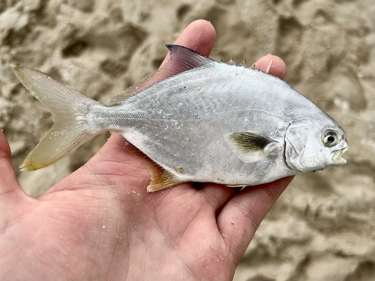
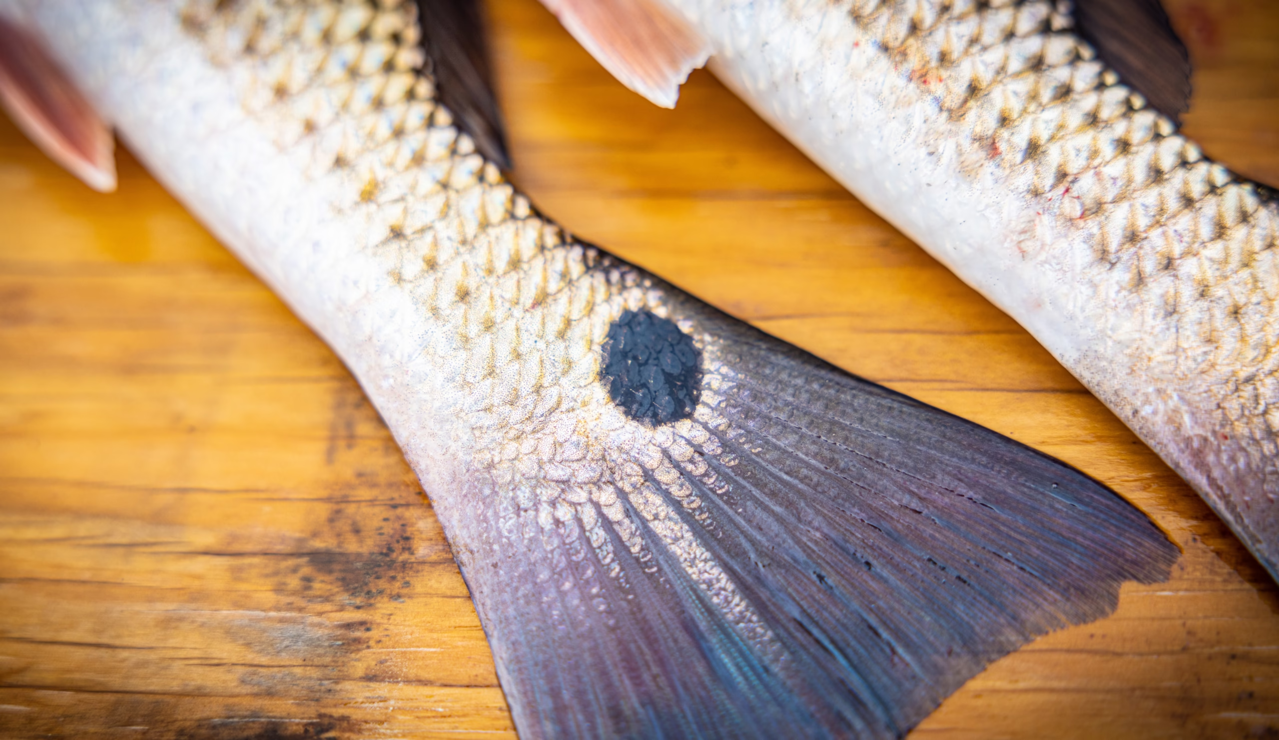
Species-by-Species Tidal Preferences
| Species | Preferred Tide Phase | Key Location During That Phase |
|---|---|---|
| Redfish | Incoming (on flats) / Outgoing (at drain points) | Flat edges on incoming; creek mouths and cuts on outgoing |
| Spotted Seatrout | First 2 hours of incoming; last 2 hours of outgoing | Seagrass flat edges; transition areas between grass and sand |
| Snook | Outgoing tide (strongest preference) | Mangrove points, bridge pilings, inlet mouths facing current |
| Flounder | Outgoing (ambush positions) | Sandy bottom at channel edges, creek mouths, bridge bases |
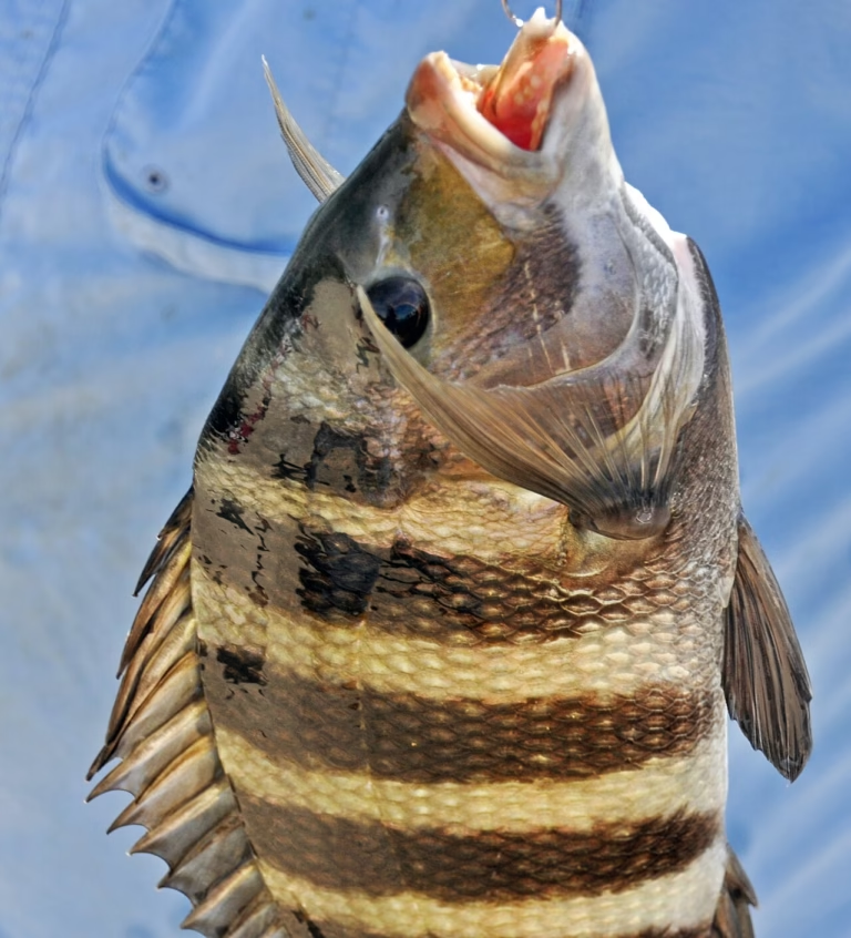
| Sheepshead | Mid-tide to outgoing | Exposed oyster bars, dock pilings, bridge structure |
| Black Drum | Incoming to high tide | Oyster flats as they flood; moving into grass with rising water |
Moon Phase and Tidal Strength
The moon phase determines how extreme the tide will be. During full and new moons, the sun and moon align and their gravitational pulls combine, creating spring tides — the highest highs and lowest lows of the month. During quarter moons, the sun and moon are at 90° angles to each other, reducing combined pull and creating neap tides — smaller, gentler tidal ranges.
For fishing, spring tides are significant because they move more water faster, creating stronger currents and more pronounced bait movement. The outgoing spring tide on a full moon night is often the single most productive inshore fishing window of the month — especially for snook and redfish. Plan your best trips around these windows.
Tools for Reading Tides
- NOAA Tides and Currents (tidesandcurrents.noaa.gov) — the authoritative source; free, station-specific tide predictions for hundreds of Florida locations
- Tide charts on fishing apps — Navionics, Fishing App, Pro Angler — integrate tide data with GPS and chart features; excellent for planning while on the water
- Wind-adjusted prediction tools — especially useful on the Gulf Coast where wind-driven water level changes can be as large as the tidal change itself
Related Fishing Guides
- How to Read Tidal Flats for Redfish
- Redfish Fishing Complete Guide: Florida
- How to Catch Snook in Florida
- Best Time of Day to Go Saltwater Fishing
- Saltwater Fishing Rigs Guide