Hunting Public Land in the Ouachita National Forest: What You Need to Know
Nearly 1.8 million acres of public timber straddling Arkansas and Oklahoma, a mountain range that runs the wrong direction, and a turkey population that rivals anything in the South — the Ouachita National Forest doesn’t get nearly the attention it deserves. If you’ve been grinding over-pressured WMAs or shelling out for lease fees, it’s time to point the truck west on Highway 270.
The Forest at a Glance
The Ouachita National Forest covers 1,784,457 acres across 12 Arkansas counties and 2 Oklahoma counties, making it the largest national forest in the South-Central United States. It’s managed out of five ranger districts:
- Caddo-Womble RD — offices in Glenwood and Mount Ida
- Jessieville-Winona-Fourche RD — offices in Jessieville, Perryville, and Danville
- Mena-Oden RD — offices in Mena and Oden; at roughly 400,000 acres, the largest single district
- Poteau-Cold Springs RD — offices in Waldron and Booneville
- Oklahoma RD — offices in Talihina, Hodgen, and Idabel on the Oklahoma side
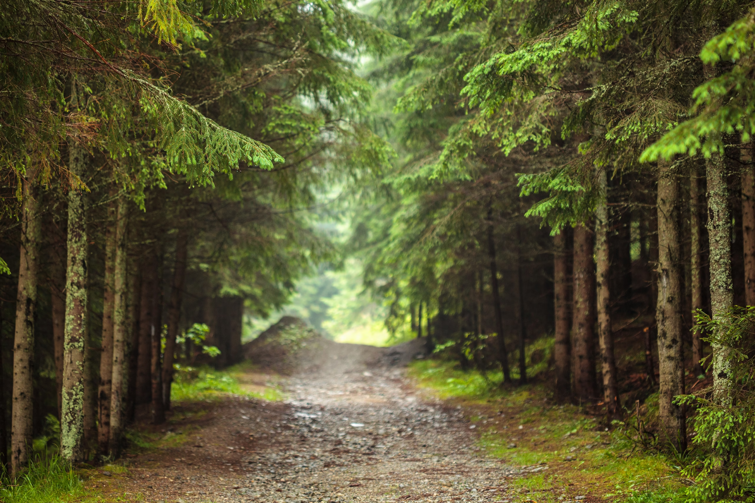
The terrain is defined by the Ouachita Mountain range — a range that formed during the Paleozoic Ouachita Fold and Thrust Belt and, critically, runs east to west. That’s geologically unusual; nearly every other major mountain range in North America runs north-south. That orientation matters for hunters. The ridges, saddles, and drainages all align on that same east-west axis, creating predictable travel corridors you can pattern once you learn to read them.
Elevation ranges from river bottoms along the Ouachita, Saline, and Cossatot to ridgetops pushing 2,600 feet. The dry south-facing slopes hold different cover — and different animals — than the moist north-facing hollows 200 yards away. Roughly 800,000 acres of the forest qualifies as old-growth timber, which translates to mast production, thermal cover, and the kind of structure mature whitetails and longbeards prefer.
Hunting Regulations: What Actually Applies on Ouachita NF Land
This is where a lot of hunters get confused, so let’s lay it out plainly.
State law governs. Arkansas Game and Fish Commission regulations apply on the Arkansas side; Oklahoma Department of Wildlife Conservation regulations apply on the Oklahoma side. You need the appropriate state license and tags. There is no additional federal hunting permit required for most species.
Where you can hunt. Hunting is permitted anywhere on Ouachita National Forest land with two exceptions: developed recreation sites (campgrounds, picnic areas, trailheads with facilities) and areas posted closed. Everything else is open. That’s a lot of country.
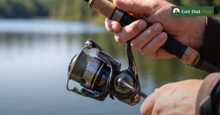
Stands. You can erect a hunting stand anywhere in the forest, but it must be moved at least 200 yards every 14 days. It also must have your name and address permanently affixed — not a business card stuck with electrical tape, but actually affixed. USFS rangers do check.
Road rules. No shooting from or across a maintained road. Period.
Baiting. Prohibited on National Forest land for game species. Don’t do it, don’t rationalize it.
Predators. Bobcat, fox, and coyote may be taken during their respective seasons during daylight hours with any caliber firearm — a useful note if you’re a predator caller.
Alcohol. Prohibited during hunting activity. Arkansas Game and Fish is clear on this.
What You Can Hunt (2025–2026 Season Overview)
| Species | General Season Dates (2025–2026) | Best Terrain in the Ouachita | Permit Requirements |
|---|---|---|---|
| Whitetail Deer (archery) | Sept. 27, 2025 – Feb. 28, 2026 | East-west ridgeline saddles; creek bottoms in early season; benches below ridgetops | AR/OK license + tags; no additional federal permit |
| Wild Turkey (spring) | Apr. 14 – May 8, 2026 | Creek bottoms and drainages; hardwood flats near water; roost timber in creek-side hollows | AR/OK license; no additional federal permit |
| Wild Turkey (fall) | Check AGFC for current fall season dates | Same drainages; travel corridors between roost and feed | AR/OK license |
| Black Bear | Archery opens late Sept.; check AGFC bear zones | Designated bear zones within the forest; mast-producing hollows and drainages | AR Resident: free Bear Permit required; one bear limit per season |
| Squirrel | June – Feb. (check AGFC for exact dates) | Old-growth hardwood flats; creek bottoms with hickory and oak | AR/OK license; no additional federal permit |
| Waterfowl | Federal/state migratory dates apply | River bottoms along the Ouachita and Cossatot; flooded timber pockets | Federal Duck Stamp + AR/OK license; HIP registration required |
Always verify current season dates and zone-specific rules at agfc.com before you go. Antler restrictions and bag limits vary by zone within the forest.
Deer Hunting the Ouachita: Pressure, Terrain, and Where to Focus
The Ouachita has deer. What it also has — near every road-accessible trailhead — is pressure. Hunters who pull off Highway 270 and walk in 300 yards are competing with every other hunter who pulled off and walked in 300 yards.
The two-mile rule. If you want to hunt deer with real solitude on public land, you need to put distance between yourself and a maintained road. Two miles is a solid starting point. That’s not a casual after-work sit — it means packing in, camping, and committing. The hunters willing to do that are a small fraction of the total, and the deer patterns in those areas reflect it.
Read the ridgelines. Because the mountains run east-west, the ridges and saddles align predictably. Deer traveling between feeding and bedding areas — especially early in archery season when food sources are spread across benches and bottoms — will funnel through saddles. Find a saddle where two converging ridgelines drop into a bottom and you’ve found a natural choke point. Set up 20 to 40 yards downwind of the saddle throat, not on top of it.
Early season creek bottoms. When September archery rolls around and temperatures are still in the 80s, deer in the Ouachita are spending their days in the coolest, most shaded cover they can find — creek bottoms, north-facing hollows, and spring branches. Hunt those areas in the morning; move to mast-producing oak benches in the evenings as temperatures fall.
Water sources. Mountain springs are common throughout the Ouachita. Mark every spring branch and seep you find on your mapping app during summer scouting. In early archery season, water sources on the back side of ridges — away from the bottoms — are magnets. Setting cameras on spring seeps a month before season opens tells you a lot about what’s moving and when.
Turkey Hunting: The Ouachita’s Best-Kept Open Secret
Some turkey hunters will tell you the Ouachita Mountains hold the best spring turkey hunting in Arkansas. That’s a defensible claim. The forest plants over 400 acres of food plots annually, and the hardwood drainages — red oak and white oak bottoms mixed with pine and cedar — are exactly what longbeards want.
Where to find birds. The recipe is simple: hardwood bottoms near water, with roost timber on the adjacent slope. Birds roost in the big timber close to creek drainages, fly down into the bottoms, and work the food plots and open areas through mid-morning. Scout the drainages first. Listen from a high point at first light in the days before season, mark roost trees on your map, and work backward from there.
Spring 2026 season runs April 14 through May 8. That’s a three-and-a-half-week window, and the peak of gobbling activity in the Ouachita typically falls in the last two weeks of April when the hens are sitting.
Black Bear: A Serious Hunt on Public Land
The Ouachita Mountains support a healthy black bear population, and hunting is available in designated bear zones within the forest. Archery bear season typically opens in late September, overlapping with early deer season — which means you can legitimately be set up for both at once if you’re in the right zone.
Arkansas residents need to apply for a free Bear Permit through AGFC. The limit is one bear. These aren’t token hunts — the Ouachita and Ozark Mountain bear population is real and growing, and the AGFC manages it seriously.
If you’re targeting bear specifically, mast production is the key variable. In good mast years, bears scatter across the ridges and hollows following acorns. In poor mast years, they concentrate — food plots, persimmon flats, and creek bottom berry patches. Get the AGFC bear zone maps and overlay them with your onX layers before you commit to a specific area.
Camping During Season: Use the Forest the Right Way
Dispersed camping is permitted anywhere on Ouachita National Forest land unless an area is specifically posted closed. No permit, no fee, no reservation required. The 14-day rule applies — you must move your camp 200 yards or more every two weeks.
This is one of the underutilized advantages of hunting a national forest versus a state WMA. You can drive into a remote drainage on Friday afternoon, set up a basecamp, hunt the area for several days, and leave Sunday without touching a developed campground. Done right, this gives you access to country that day-hunters never see.
A few practical notes:
- Pack out everything you pack in. Leave-no-trace on NF land isn’t just courtesy — it’s federal regulation.
- Your stand’s 14-day clock and your camp’s 14-day clock run independently but are subject to the same rule. If you’re running a 10-day camp, your stand placement needs to account for that.
- Some areas, particularly around developed recreation sites and campgrounds, have posted restrictions. Check with the relevant ranger district before you go.
Scouting Tools That Actually Work
onX Hunt with the National Forest overlay is the standard for a reason. The ownership layer clearly shows NF boundaries, and you can drop waypoints, build routes, and share maps with hunting partners. Download the offline maps for your districts before you leave cell service range.
Avenza Maps with the USFS layer is a free alternative worth having as a backup. The USFS distributes official motor vehicle use maps (MVUMs) for each ranger district as free downloads — these show every road and trail open to motor vehicles, which matters when you’re planning a pack-in. Get them from fs.usda.gov/r08/ouachita.
Summer scouting trips are worth every mile of gas. The Ouachita in July looks nothing like the Ouachita in October, but the terrain doesn’t change. Walk your saddles, mark your springs, find your food sources, and hang cameras on water sources. The intel you gather in the off-season is the reason you’ll be smarter than the hunters who just pull off 270 on opening morning.
Frequently Asked Questions
Do I need a special federal permit to hunt the Ouachita National Forest?
No. For most species — deer, turkey, squirrel, waterfowl — your state hunting license and applicable tags or stamps are all you need. Black bear in Arkansas requires a free state Bear Permit. There is no additional federal permit required for general hunting on NF land.
Can I camp in the Ouachita National Forest during hunting season?
Yes. Dispersed camping is allowed anywhere in the forest not specifically posted closed, with a 14-day stay limit at any one location. No permit or fee is required. This is one of the Ouachita’s biggest advantages for serious hunters.
How do I know which land is actually National Forest versus private?
Use onX Hunt with the ownership layer active, or download the official district maps from the USFS Ouachita website. Private inholdings do exist within the forest boundary — the ownership layer will show them clearly. When in doubt in the field, look for NF boundary markers (typically painted trees or posted signs).
Are there antler restrictions on Ouachita NF deer hunting?
Antler restrictions are set by Arkansas Game and Fish Commission and vary by zone. The Ouachita spans multiple AGFC deer zones, so the rules differ depending on exactly where in the forest you’re hunting. Check the current Arkansas Hunting Guidebook at agfc.com and map your hunting area against the current zone boundaries.
What’s the best ranger district for lower hunting pressure?
Pressure tends to concentrate near highway access points and developed campgrounds regardless of district. The Mena-Oden District — the largest at roughly 400,000 acres — simply offers more remote acreage to get lost in. The Poteau-Cold Springs District along the Arkansas-Oklahoma line also gets less pressure than the Hot Springs side of the forest, simply due to distance from population centers.
Can I use trail cameras on Ouachita National Forest land?
Yes, trail cameras are permitted. The same 14-day rule applies — cameras should be moved periodically, and they must have your name and address affixed. Do not lock cameras to trees in ways that damage the bark.
Is the Ouachita good for squirrel and small game?
Absolutely. The old-growth hardwood bottomlands produce acorns and hickory nuts that support strong squirrel populations. Creek drainages and hardwood flats in any of the five ranger districts hold good numbers. It’s one of the most overlooked small game opportunities on any public forest in the South.
Know Before You Go
- USFS Ouachita NF: fs.usda.gov/r08/ouachita — district contacts, maps, road closures, fire restrictions
- Arkansas Game and Fish Commission: agfc.com — season dates, zone maps, license purchase, Bear Permit
- Encyclopedia of Arkansas: encyclopediaofarkansas.net — Ouachita Mountain geology and natural history
- Oklahoma Dept. of Wildlife Conservation: wildlifedepartment.com — regulations for the Oklahoma side of the forest
Call the ranger district that covers your hunting area before a trip, especially in fall. Road conditions change after rain events, and some forest roads close seasonally. The district offices are staffed by people who know the ground — five minutes on the phone can save a wasted day.